Wilber 3 Release
Wilber 3, the newest version of the venerable WILBER system which has served the IRIS community for many years, was released for beta testing in April. After a successful testing period, Wilber 3 will be officially released, and the older WILBER II system retired from operational service, on September 30th, 2013.
Wilber is a web application for requesting event-oriented data.
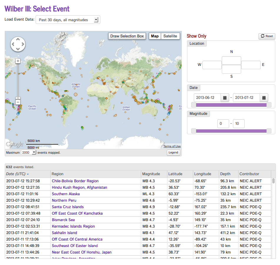
It begins with an interactive map and data table of recent events. Using the map and a set of interactive controls, events can be sorted and filtered by location, magnitude, depth, and other criteria.

Once an event is selected, Wilber locates all stations in operation at that time. These are displayed in a similar map and data table, with interactive controls to filter stations by distance, network, available channels, etc.

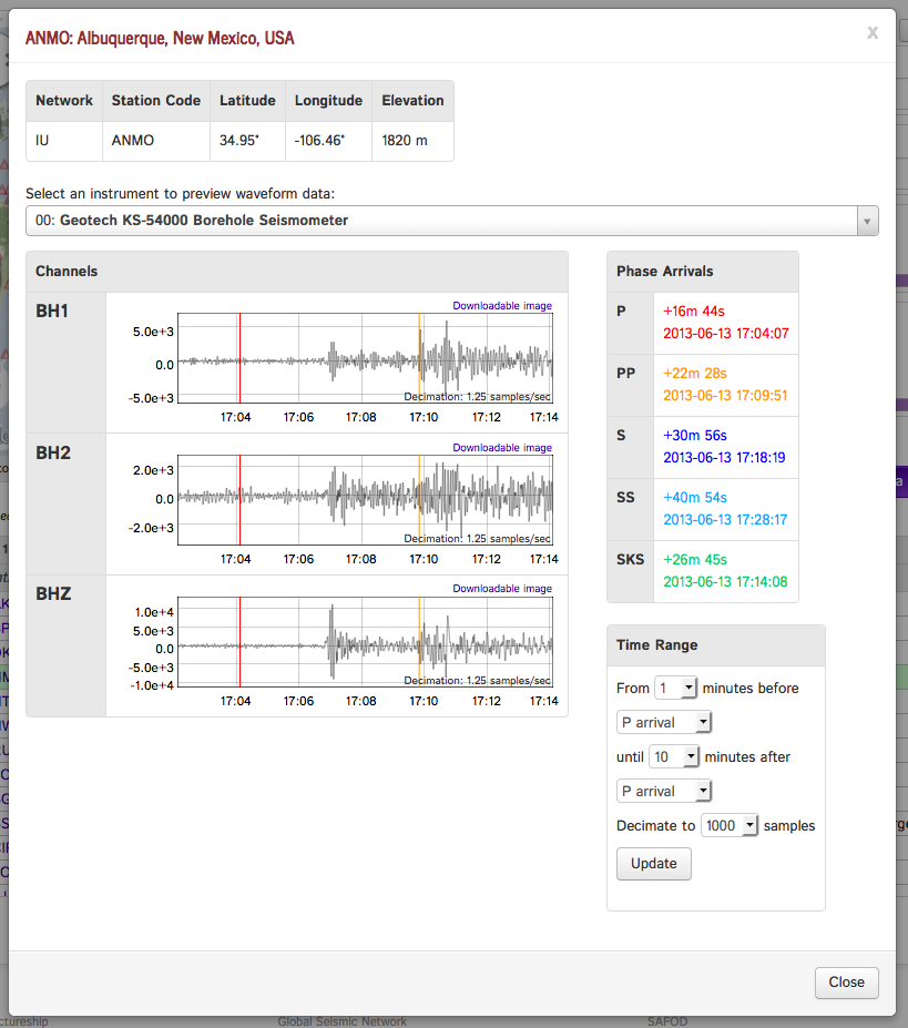
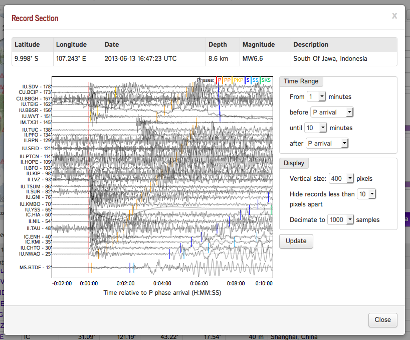
Individual stations can be examined, and waveform data previewed. Full record section plots are also available.


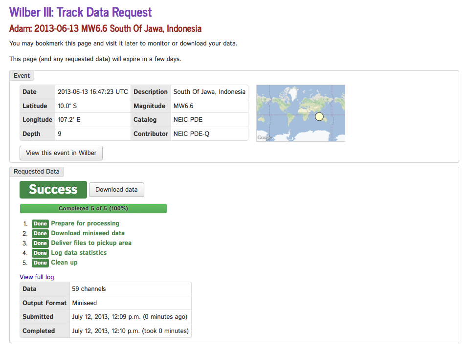
A set of stations is selected, and Wilber initiates and tracks a process to collect and package the relevant data. Data can be packaged in a number of formats including SAC, SEED, miniSEED and ASCII. Once packaged, the data is available for download by web or FTP.

Wilber 3 is a complete rewrite of the WILBER system, so it is still under relatively active development. User feedback remains vital to making this system useful and reliable, so we welcome your input! Email: data-help@earthscope.org
by Adam Clark (IRIS DMC)


