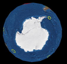
Project it!
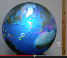
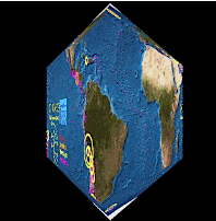
Wrap onto surfaces:
Wrapped at 9 (3x3) faces.
Wrapped at 25 (5x5) faces.
Wrapped at 625 (25x25) faces.
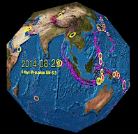
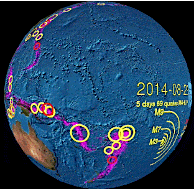
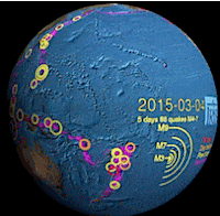
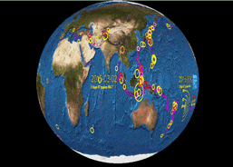
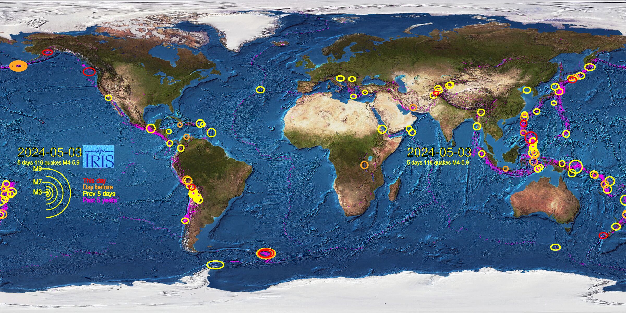
IRIS Videoglobe Earthquake Maps - Downloads
The last 30 days of world earthquake maps for wrapping onto spheres or
for use with a globe projector device (e.g. OmniGlobe, Magic Planet).
The most recent file should be today.jpg, below.
The JPG versions are made 8 times a day, and are about 800K each in size.
The entire last 30 days can be grabbed using the ZIP files,
or get individual day images below.
today.jpg Last modified at Thu, 02 Jan 2025 05:03:30 UTC
30days.zip Last modified at Sun, 05 Jan 2025 05:03:18 UTC
README more info Last modified at Sun, 05 Jan 2025 05:03:17 UTC
Image filename format: eqmap[year][day of year][hour of day]_[day #].jpg
The year, day and hour refer to when the image was made.
The 'day #' is which of the 30 days, starting 30 days ago, the map shows.
For example: 'eqmap201511815_0001.jpg' is a map made on day 118 (Tue Apr 28) of 2015 at 15:00 hours. It is the first of the series, which means it portrays the quakes that occurred 30 days before that date. 'eqmap201511815_0030.jpg' shows the day entire series was made, also offered as 'today.jpg' for convenience.
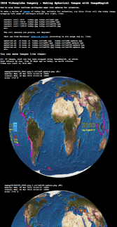
How to use Videoglobe images:
(without a globe-projector, using web apps and animations)