New Data: Winter 2021
This article highlights the availability of new sensor data from networks that have submitted data to IRIS Data Services during the fall of 2021 (Sept-Dec). Note that the actual data from these may not have been collected during 2021, just that they became available for the first time during this quarter. Newly collected data can remain restricted as defined by the data restriction policy. https://ds.iris.edu/ds/nodes/dmc/data/types/restricted
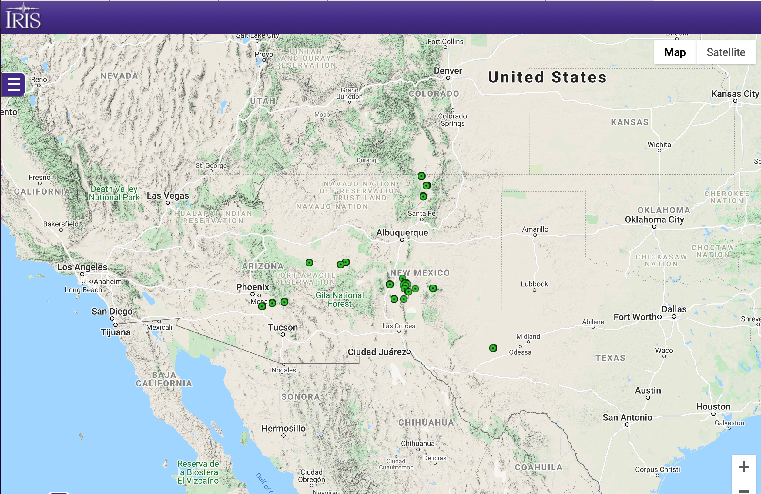
2D (2012):
Humming Roadrunner Temporary Seismoacoustic Network

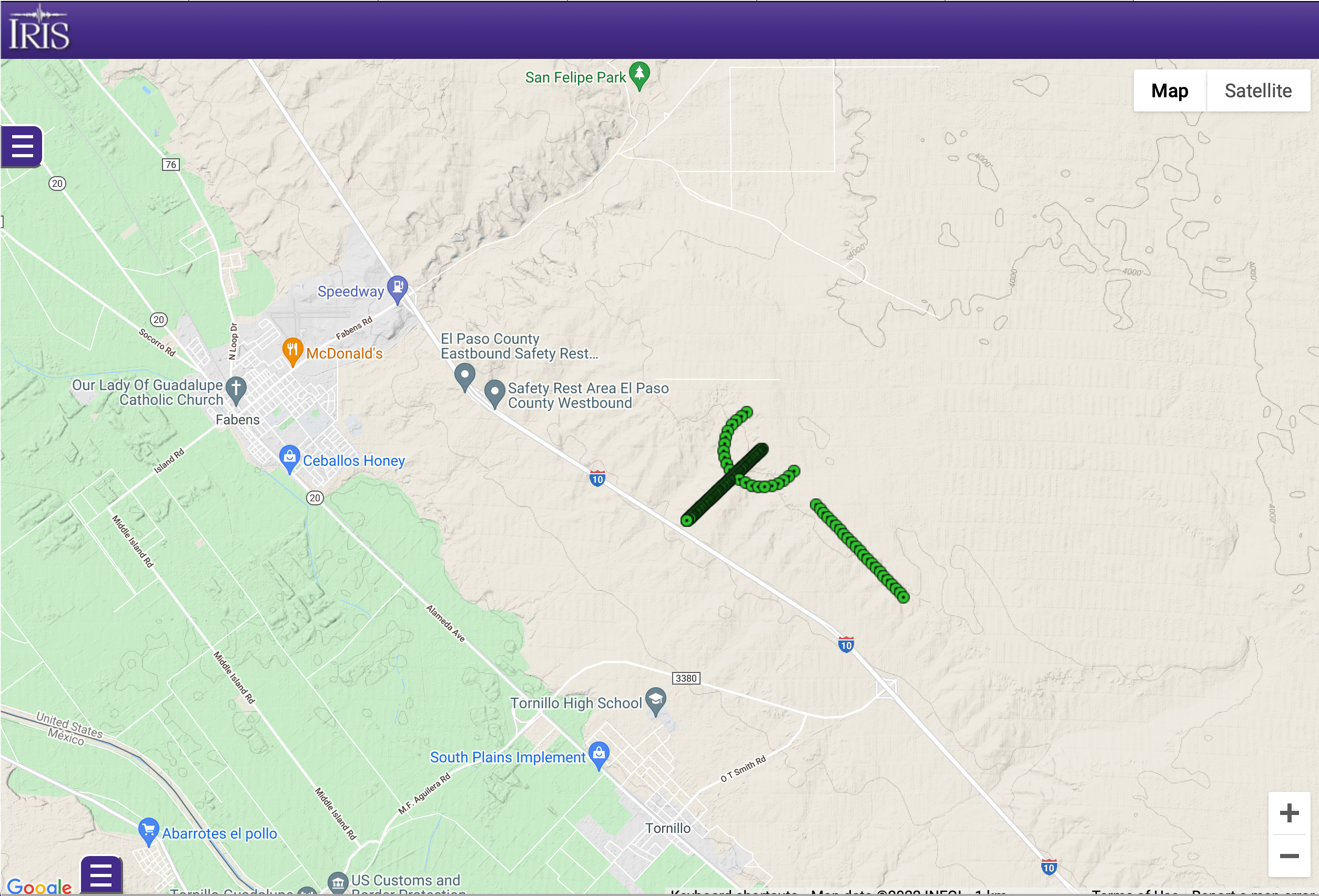
2N (2018):
TIME Tornillo, Texas Shot Testing I

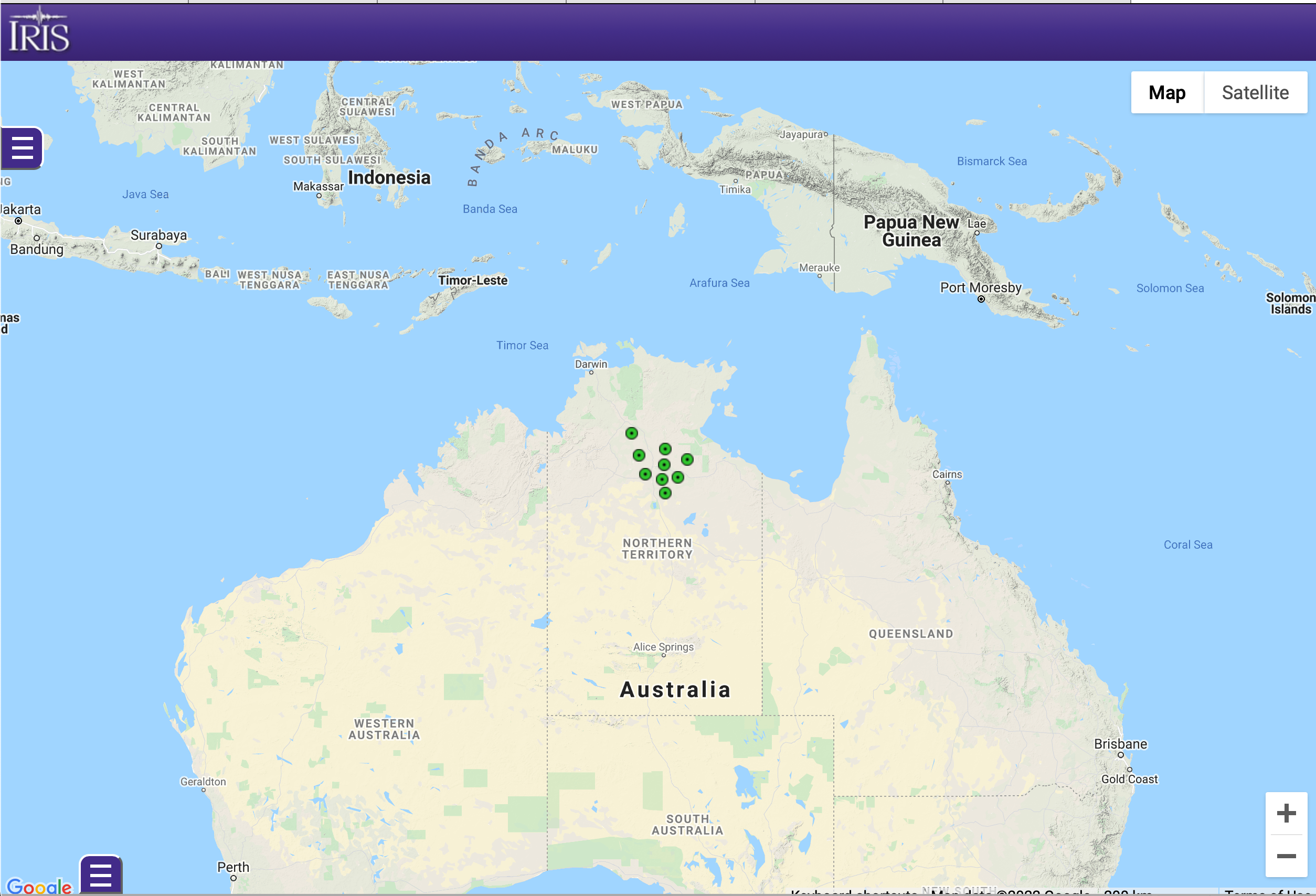
2O (2019-2025):
Beetaloo Seismic Monitoring Project

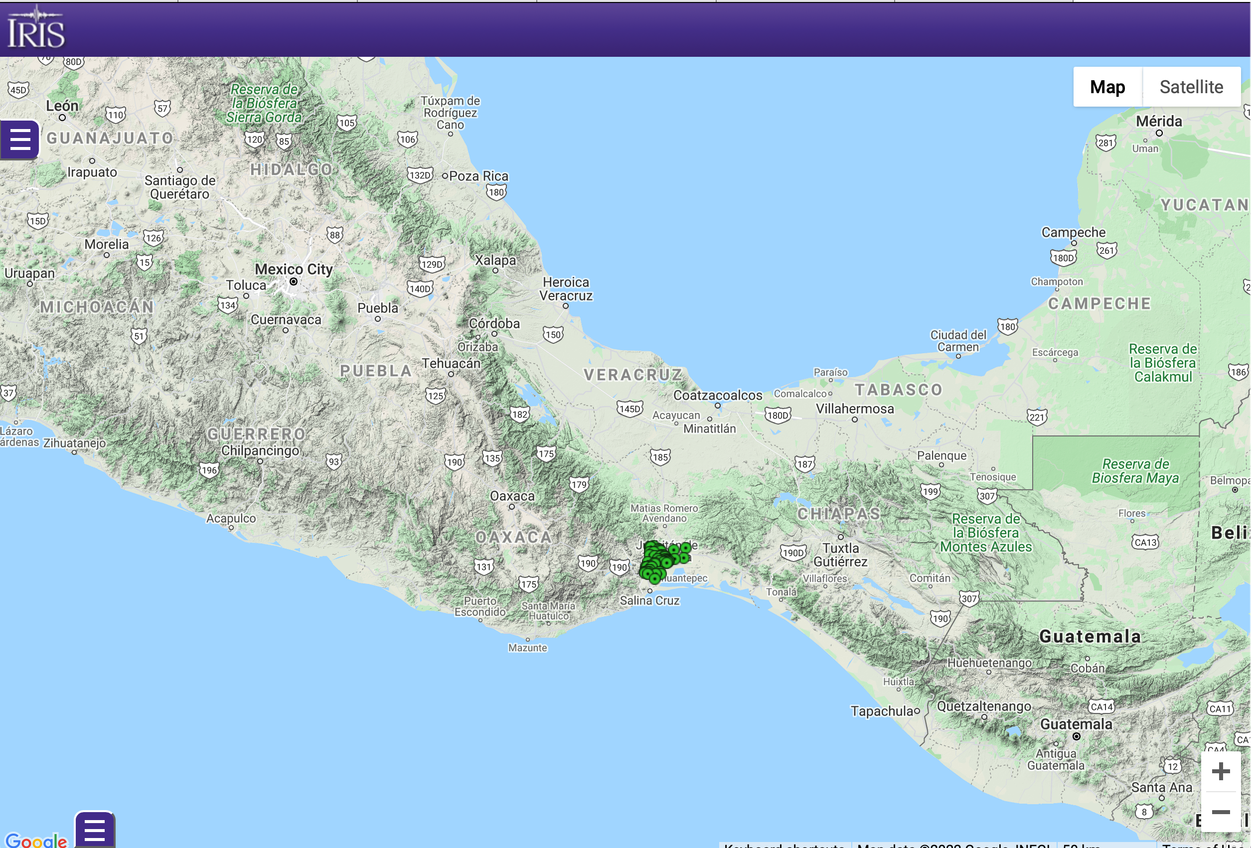
3A:
Node deployment in Oaxaca, Mexico following the M8.1 Tehuantepec Earthquake

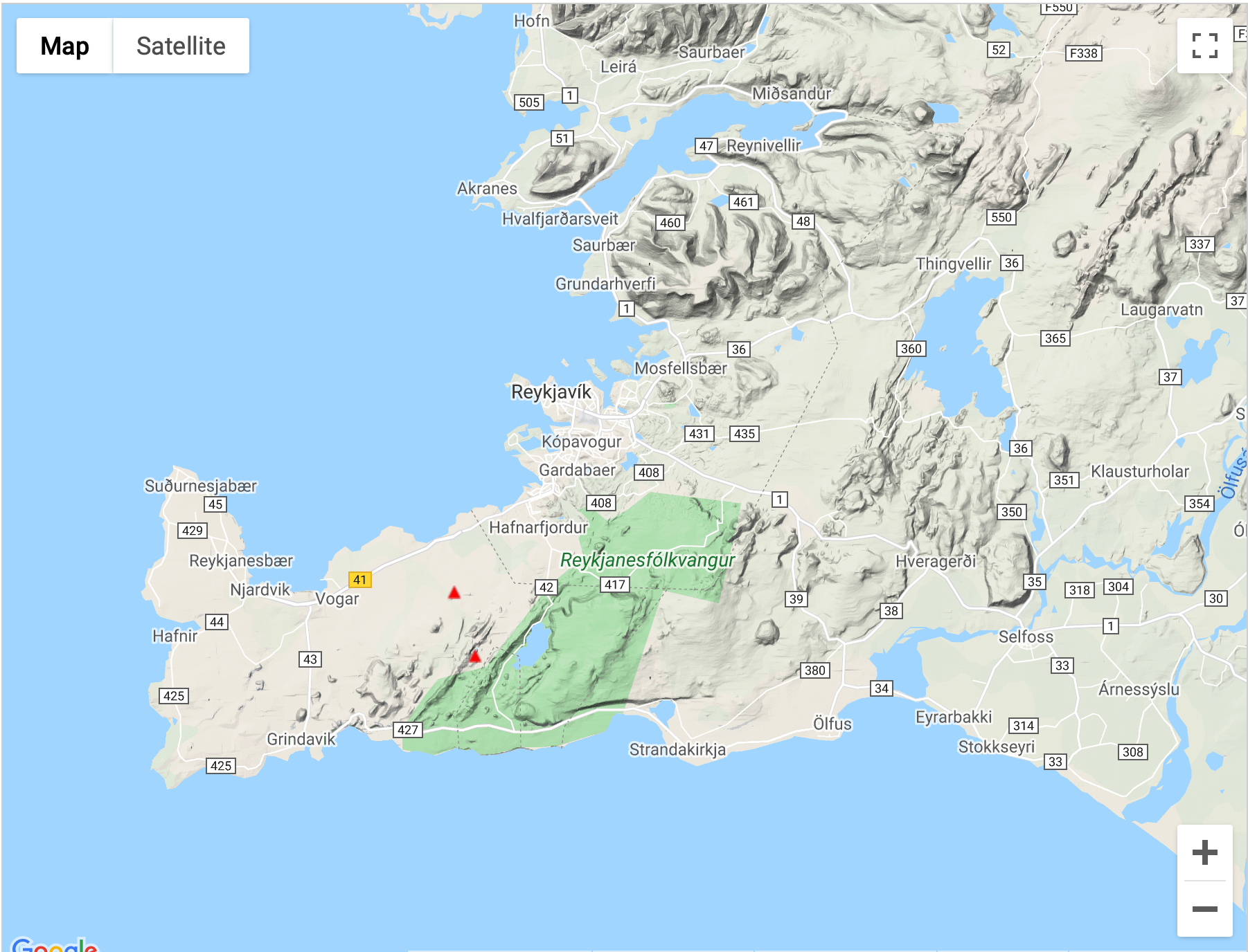
3A (2021):
Reykjanes, Iceland

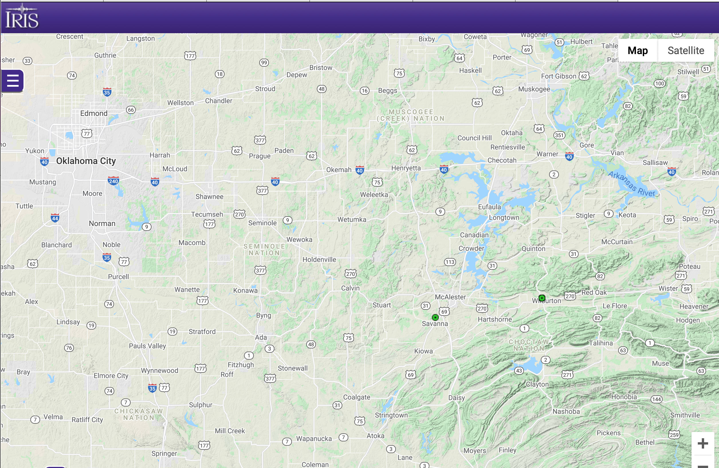
3B (2021-2022):
Southern Methodist University

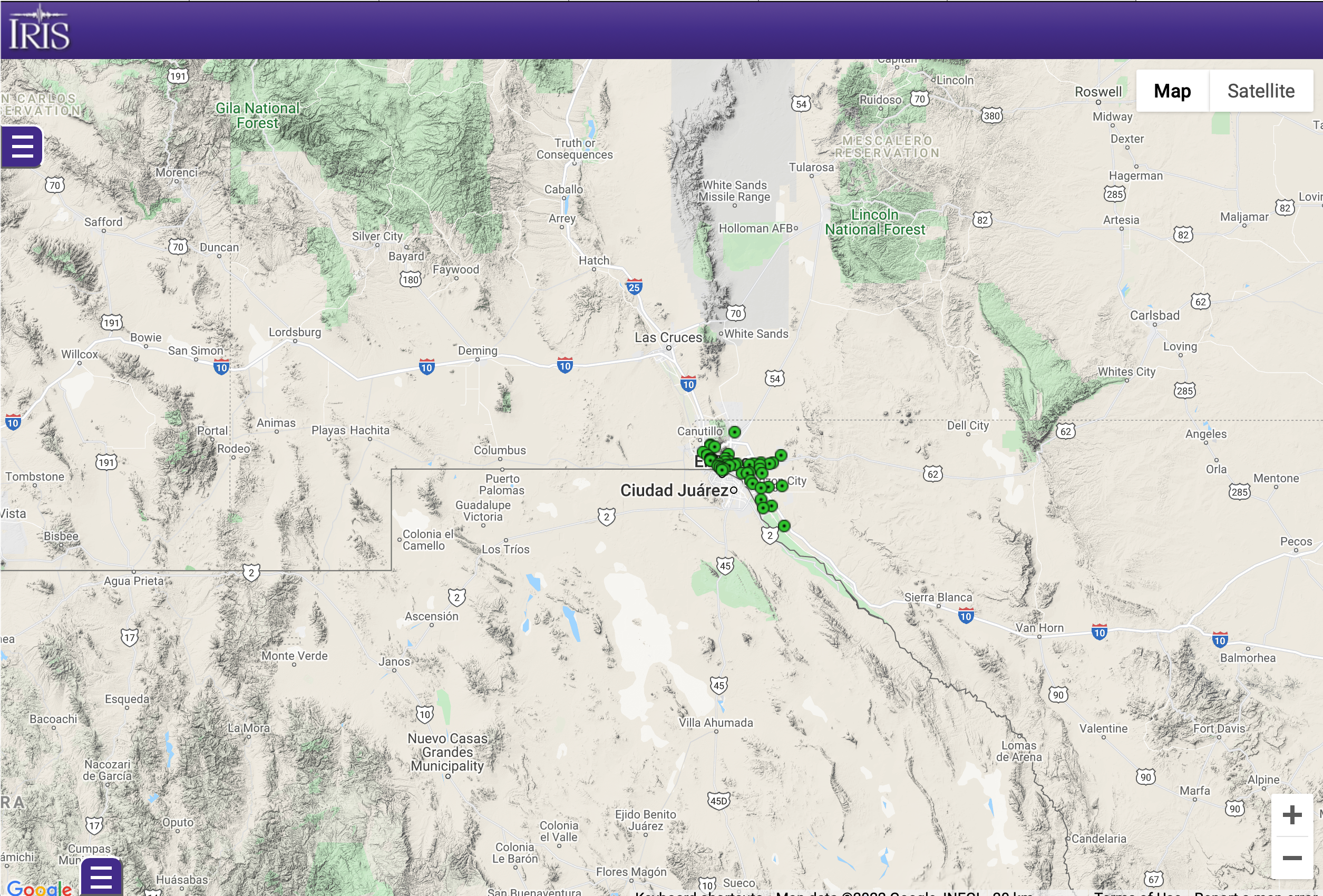
4B (2021):
El Paso Iglesias

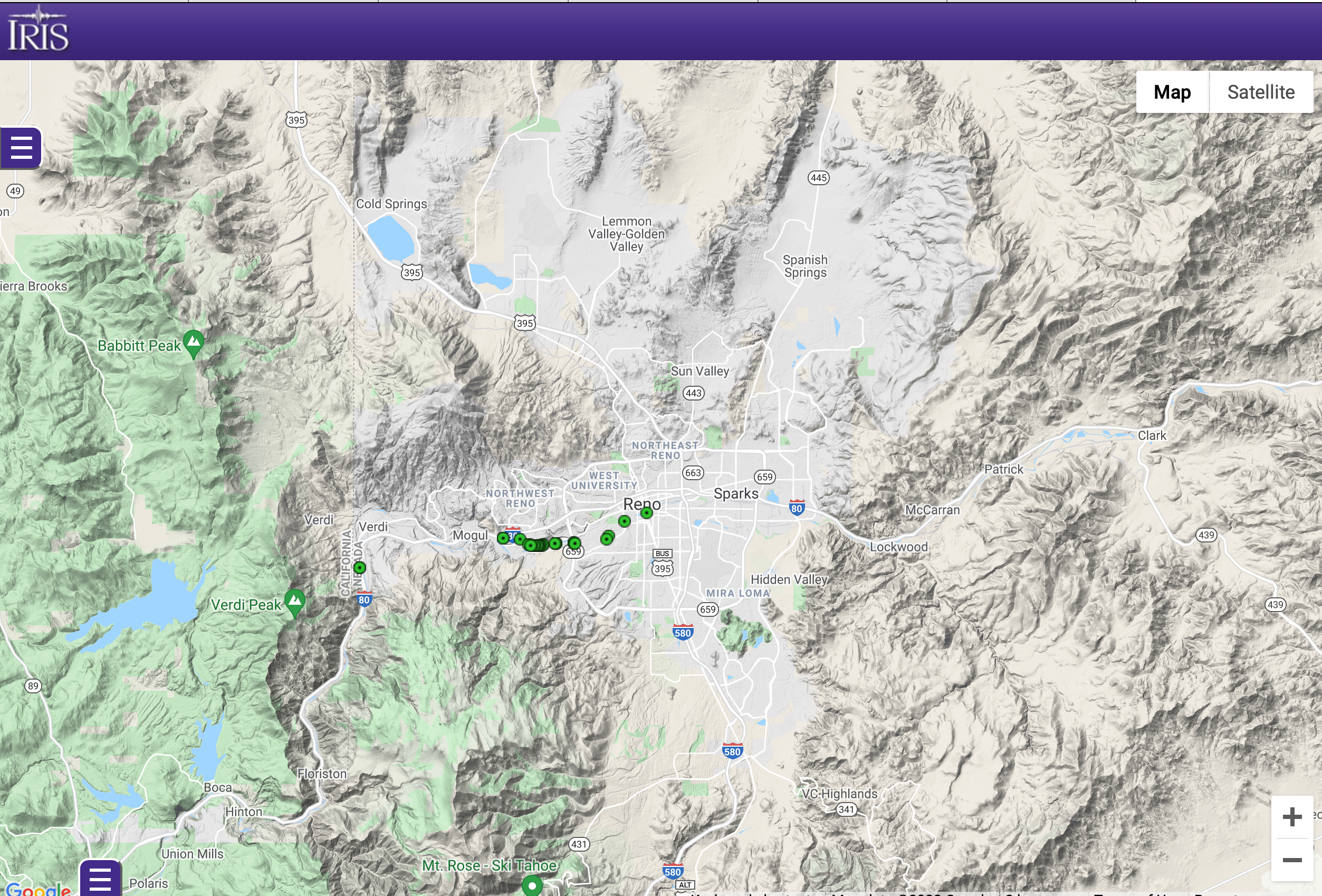
6E (2021):
Sub-surface imaging of the west Reno basin

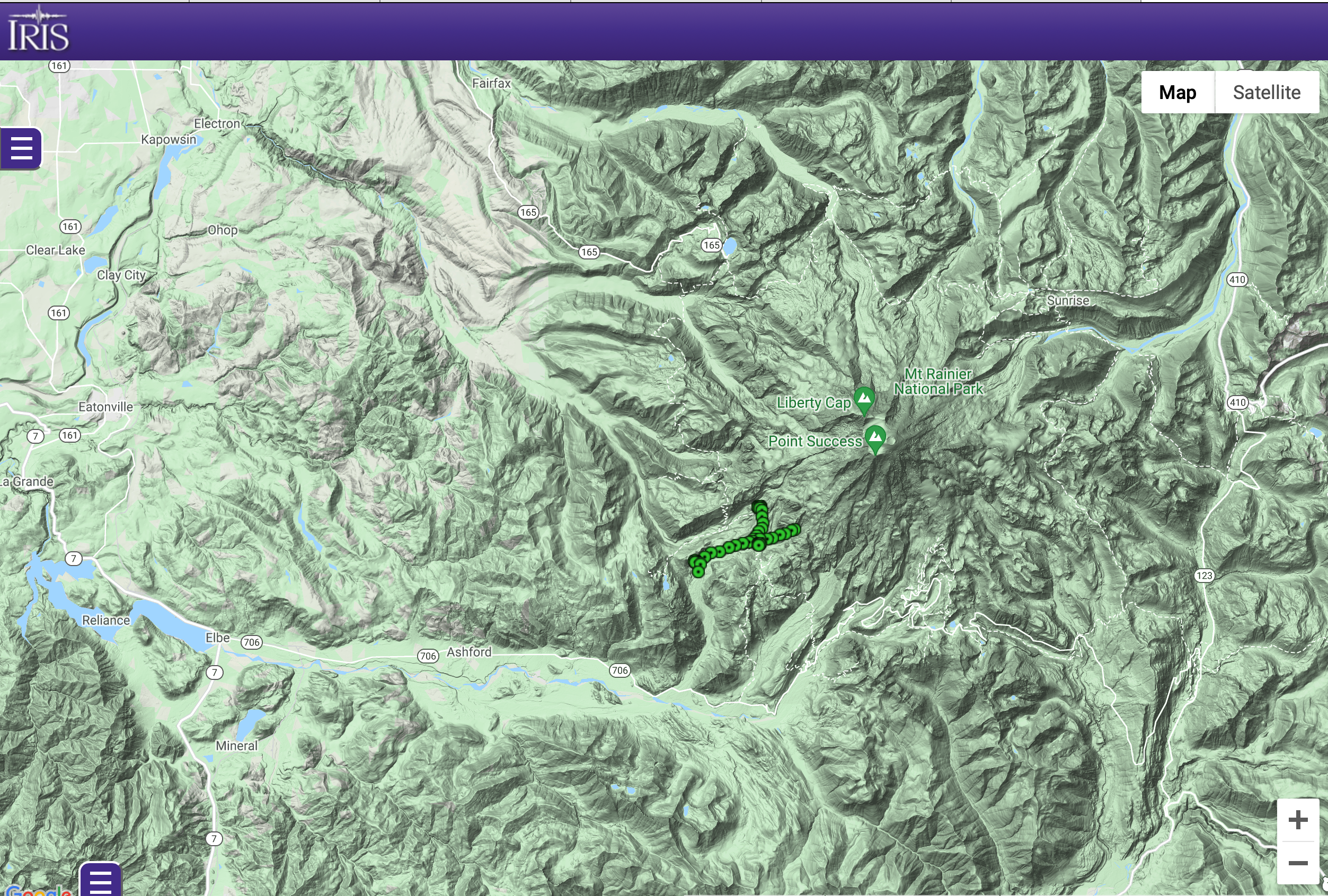
6N (2021):
Mt Rainier, Washington

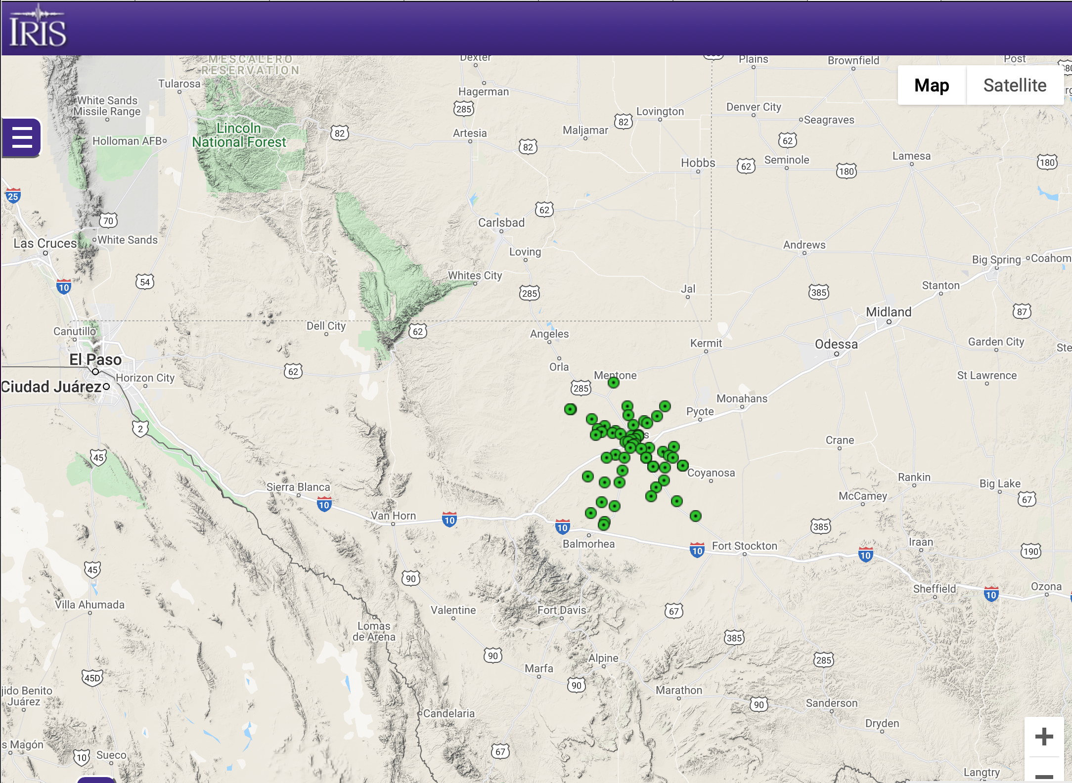
7P (2018-2020):
Investigating West Texas Seismicity and Structure with Dense Geophone Arrays

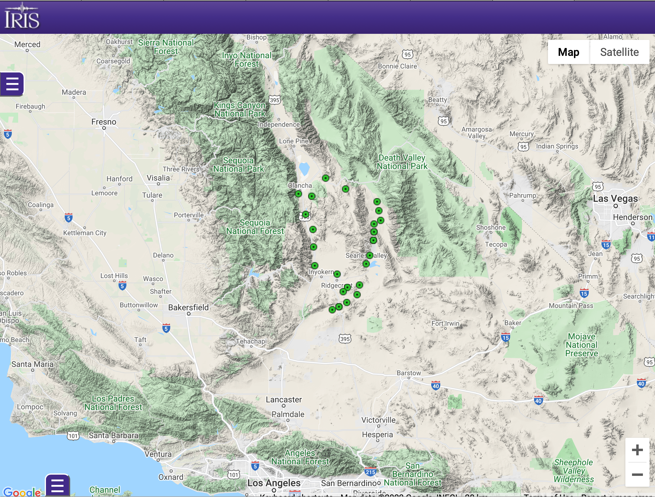
7Q (2019-2020):
RAPID: Capturing aftershock sequence of 2019 Mw 6.4 Ridgecrest and 7.1 Ridgecrest earthquakes

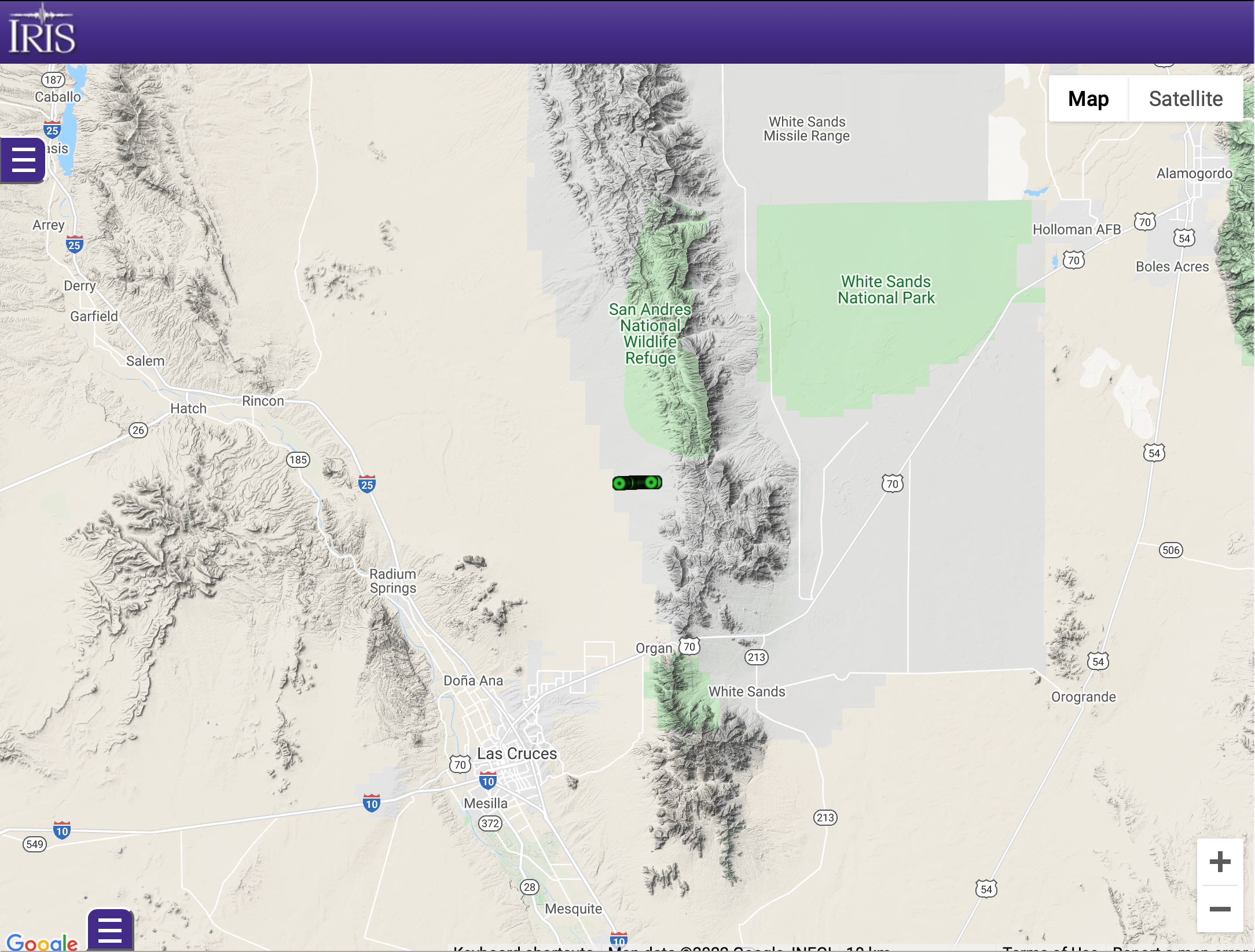
9D (2021):
Dryland Critical Zone: Jornada Piedmont Seismic Imaging

9L (2013-2016):
Stanford Geophysics Donor Data Collection

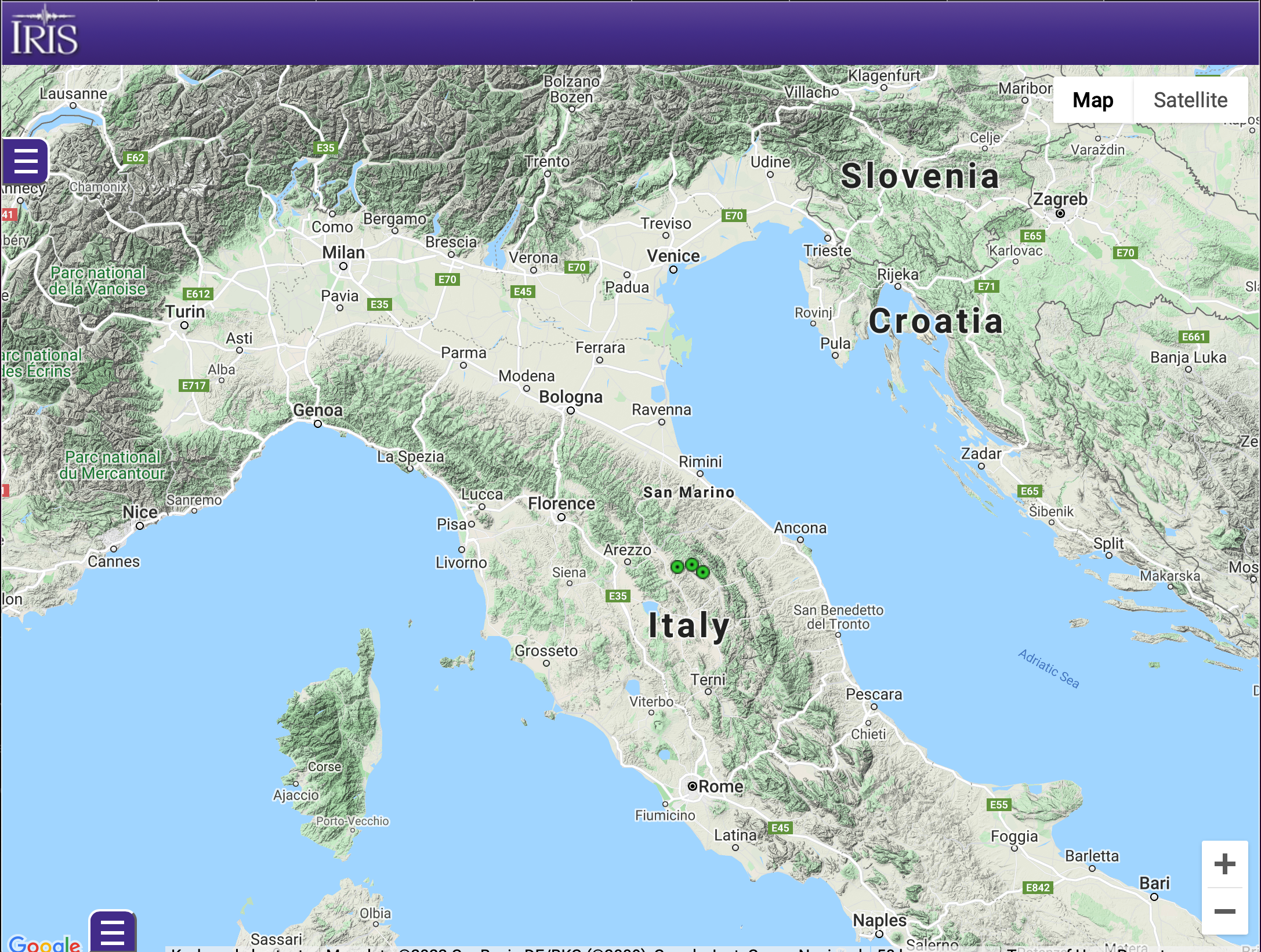
IV :
Tensor Strain Meter Data, Italy, UNAVCO

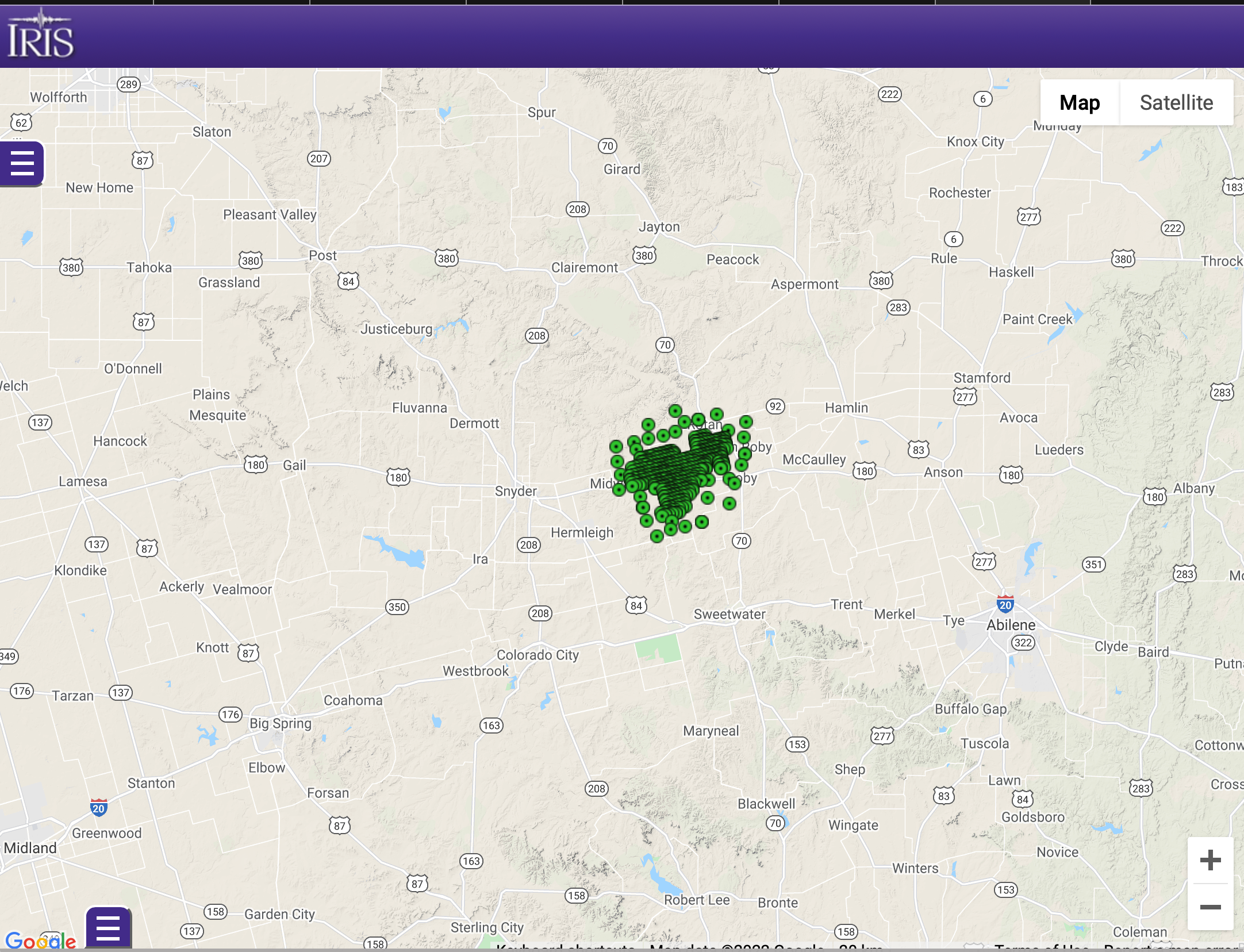
XB (2014):
Sweetwater Array

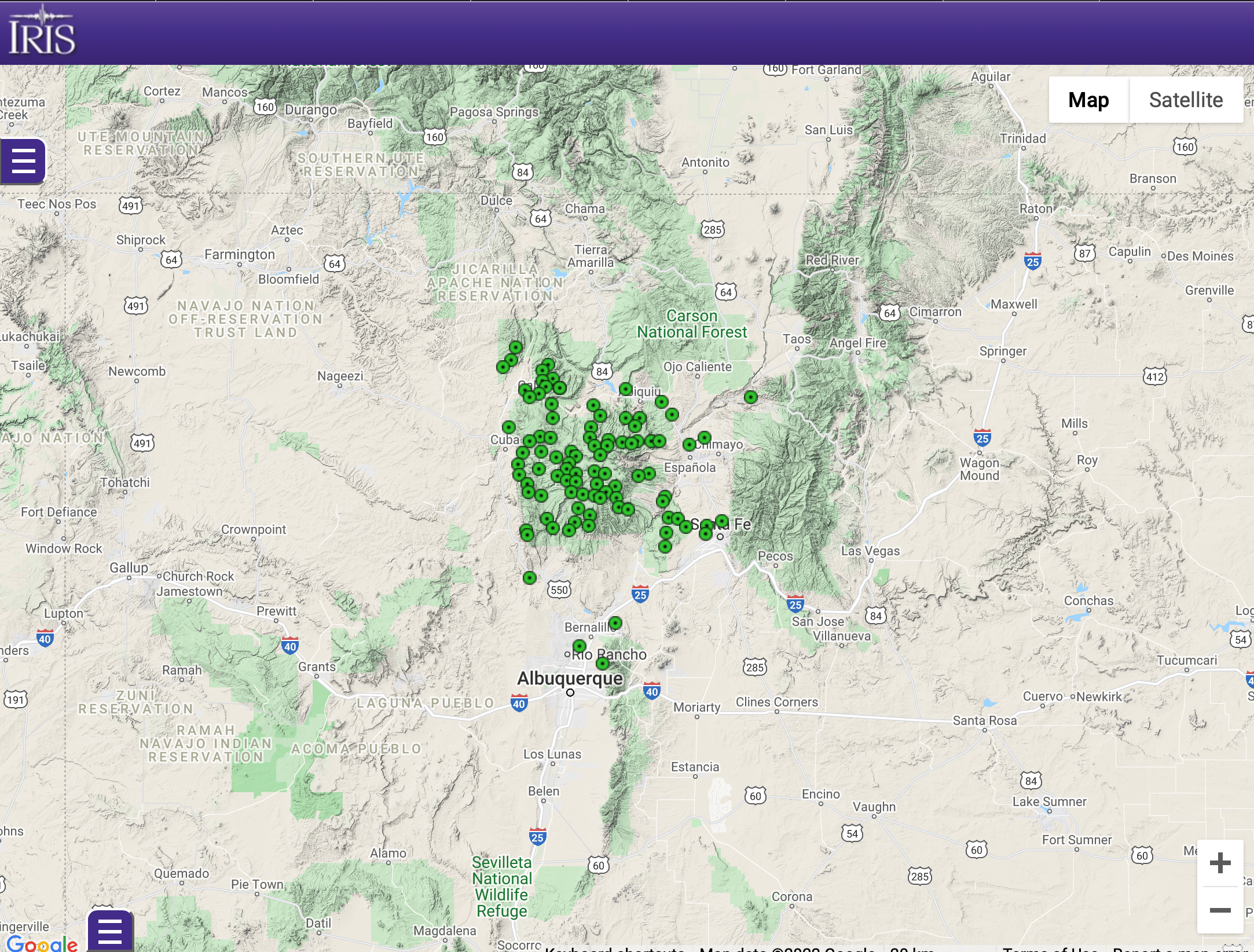
Y5 (2021):
Valles Caldera and Gallina Fault Node Array 2021

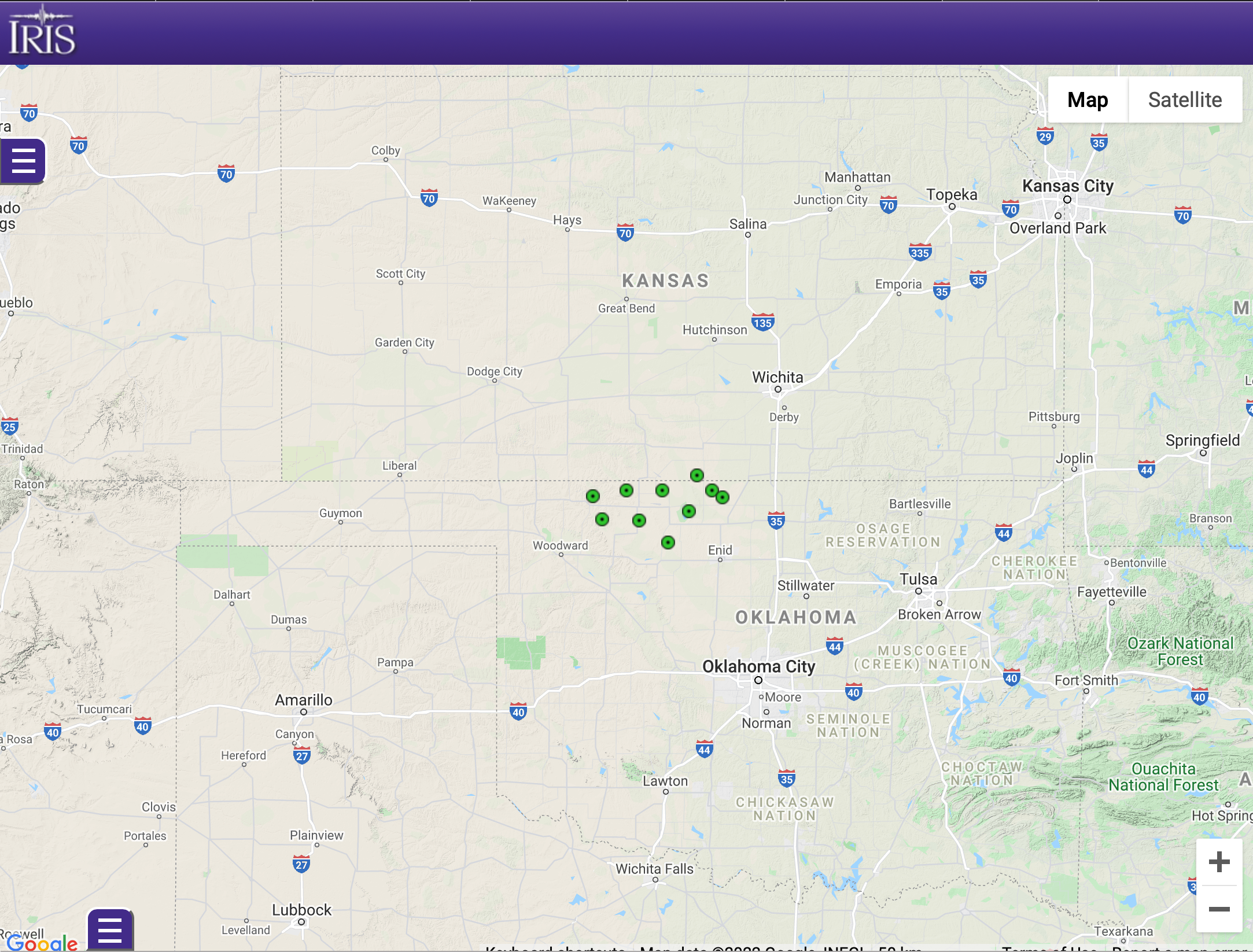
YI (2019):
Geometrics Atoms 1-/3-C & Other Instruments Comparisons
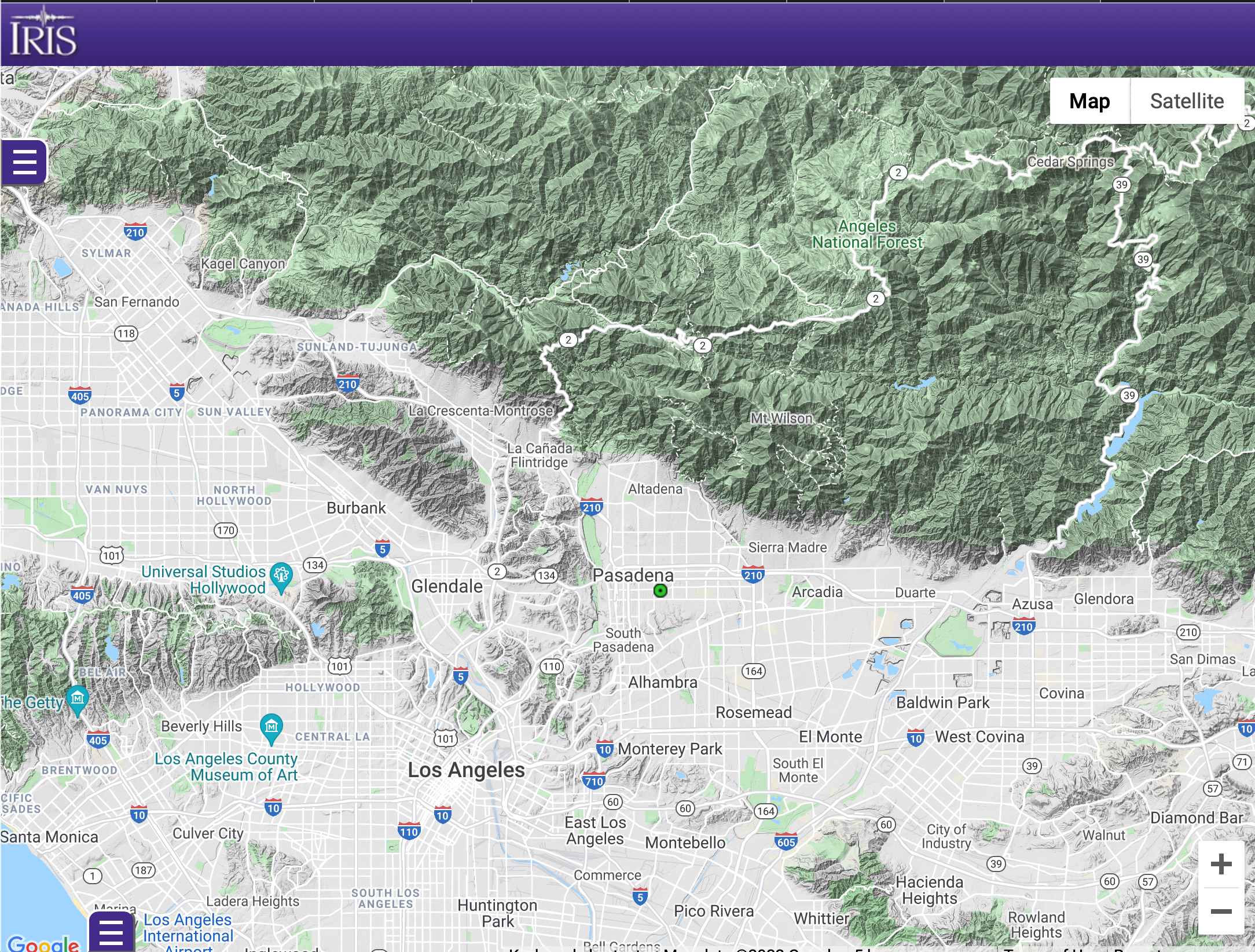

YL (2021-2022):
MangyStaU ARray (MSUAR) Feasibility Study
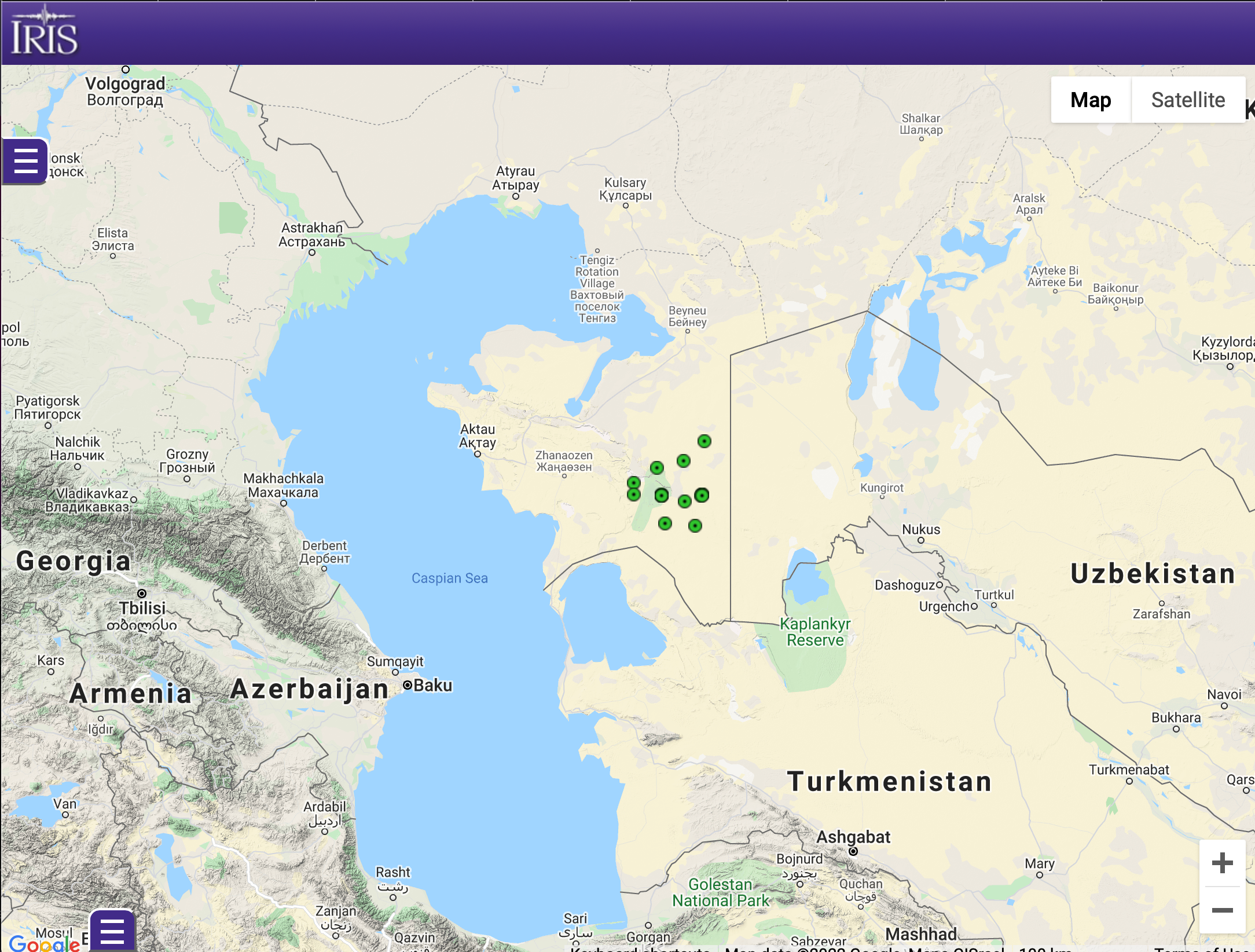

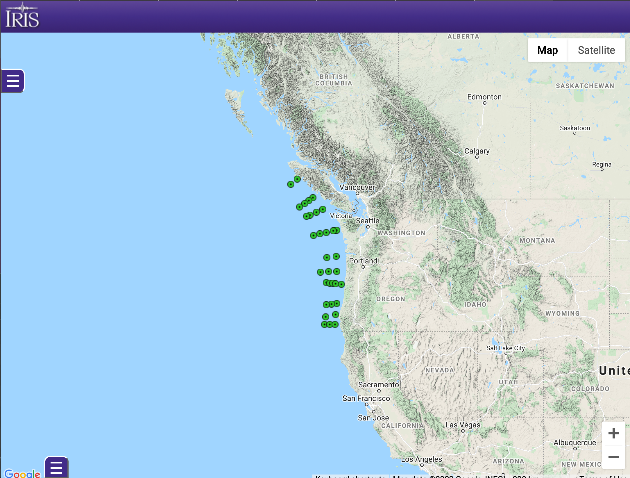
YR (2021):
An Open-Access, Controlled-Source Seismic Dataset Across the Cascadia Accretionary Wedge From Multi-Scale Regional OBS and Focus

by Rick Benson (IRIS-DMC)


