Event aggregator webpage displays comprehensive metadata and data products to drive discoverability
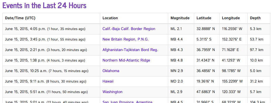
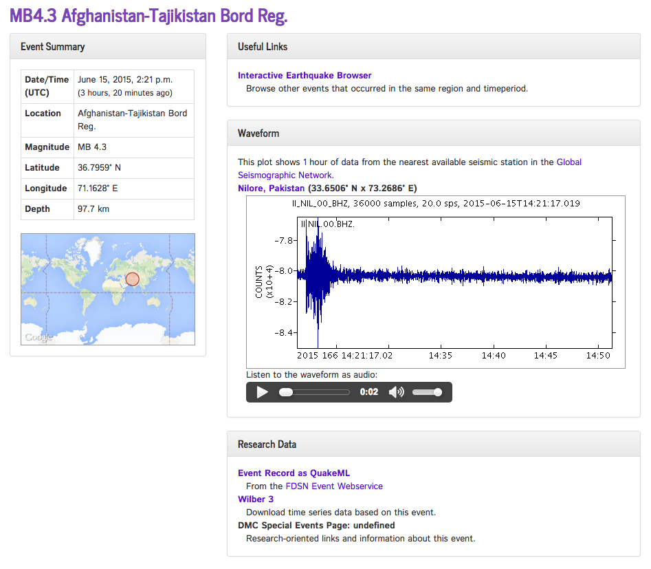
One of the missions of IRIS Data Services is provide timely, and easily consumable, information on recent regional and global earthquakes. To meet that goal, a web-based interface was developed that displays a list of events from the last 24 hours with links to a detailed page view displaying all the most publicly consumable data for that event. This includes:
- event metadata: date and time, location, magnitude, depth
- event location map
- links to other user interfaces such as the Interactive Earthquake Browser
- a waveform image recorded by the closest network station that recorded the event using the IRIS Timeseries web service
- an audio conversion of the waveform created by the SeisSound data product
- links to data for research purposes (download time series)

The popular SeisSound Data Product is embedded in the page and allows users to hear an audio-format conversion of the earthquake.

The public web address (or URL) uses an internal event identification key that is used across IRIS and allows easy and permanent linking both from and to different user interfaces such as:
- IRIS Education and Public Outreach’s (EPO) Recent Earthquake Teachable Moments (RETM) interface
- Data Services Searchable Product Depository (SPUD).
- The IRIS Seismic Monitor
This drives discoverability across IRIS websites, allowing users to rapidly find the information they want in a format that is easily shareable.
by Rob Newman (IRIS Data Management Center) and Adam Clark (IRIS DMC)


