USArray Transportable Array station siting summary - the wisdom of 8 years on the road
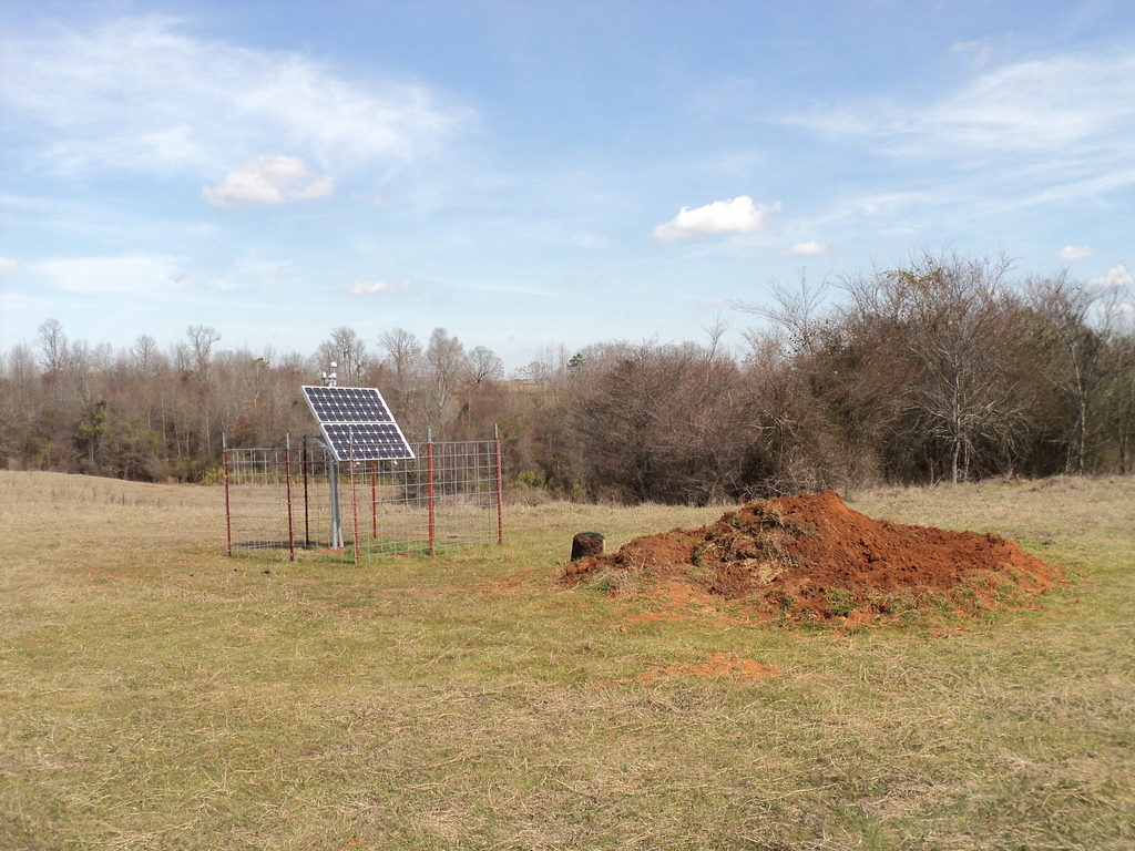
The USArray Transportable Array is a network of seismographs that stretches from the US Pacific coast to the Atlantic, and is currently being moved to Alaska and the Yukon. The stations cover the US and southern Canada on a grid pattern, spaced about 70 km apart, which allows the Transportable Array to map the 3D structure of Earth’s interior, just like how a CT scan makes images of the inside of the human body. The USArray started on the west coast of the United States in 2004 and has steadily moved eastward ever since, with the final stations currently being built in the Atlantic coast states (with Ontario and Quebec in Canada as well). The sites are typically hosted by local landowners, in quiet areas far from human activity, and consist of a sensor buried in an underground vault, powered by solar panels, with a cellular or satellite connection to the internet. Each station is in place for 2-3 years, and is then reused and moved eastward; this allows the array to ‘roll’ across the country in sections, using less equipment and personnel to cover the continent.

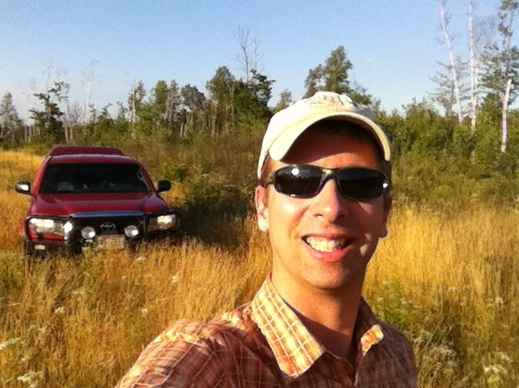
Since 2006, I have been the TA’s Reconnaissance Specialist, which is the guy who knocks on doors and asks farmers, ranchers, and other landowners if they would be willing to host a sensor on their land for a few years. In other words, I’m the guy showing up on random doorsteps asking to put government-funded monitoring equipment in people’s back yards in rural America, for free. And you know what? Once you are able to talk to folks one-on-one, they often agree to help out.
Probably the biggest lesson I’ve learned form doing this job is that anywhere you go, people are all pretty much the same. They may have different accents and concerned by different political issues, but most people are friendly and willing to help out a stranger once you get to talking with them. I remember one example of this not long after I first started. I was in western Montana, having a tough time finding a suitable location for a site when I came across a property that had a giant sign at the entrance of the driveway to the effect of, No trespassing, No hunting, No soliciting, No missionaries, No salesmen, GO AWAY. So I drove up the driveway to the house. An older gentleman came out of the house, so I started explaining to him why I was there. He didn’t say a word. I was getting nervous and then his wife came out, so I repeated everything to her. She was silent for a moment and I was getting even more nervous. Finally, she said,
That is absolutely fascinating, c’mon inside!
They ended up giving me a tour of the ranch and let me put the site wherever I wanted to. In addition, the husband showed me how he had been keeping a daily record of precipitation at the ranch for decades, fastidiously using the same method, and recording the data in a spreadsheet. Science was in good company at that ranch. That was the first of many similar encounters with friendly folks across North America.
Over 7.5 years, the USArray has taken me to 47 states, 3 provinces, and 1 territory. I have flown through 56 different airports and 1 grass airstrip, driven 181,995+ miles on 3 different company trucks, with only 2.5 flat tires. I’ve traveled 4,517 miles between my house and the airport alone.

~~~~
Graylan Vincent is a graduate of the University of Washington Geology and Aerospace Engineering Departments, and a former employee of the Pacific Northwest Seismic Network. Now that he is done rolling the USArray across the country, he will be rolling back across North America on a bicycle in the summer of 2014.
by Graylan Vincent (IRIS)


