JWEED 3.0
A powerful, event-oriented data access tool
New improved mapping capabilities
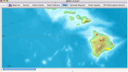
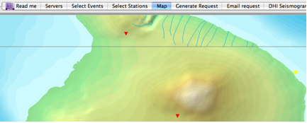
JWEED now utilizes Web Mapping Services (WMS) for displaying maps. The WMS of NASA and others are now available which means JWEED has greater ability to zoom into a region.


Mid-point, great circle calculations
Mid-points
The user can now specify regions on the map then build a request with events and stations which have mid-points in these regions. This example shows a box drawn around Hawaii with the associated event/station pairs which have mid-points in this region.

Great circle paths
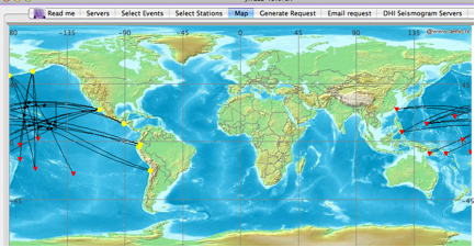
The user can plot great circle paths between events and stations as well as define an area and only show events and stations which have great circle routes lying in these regions. You can also draw great circle routes between arbitrary points.
Improved ease of use
Effort has been made to make the map pane easier with a simpler and easier look. Tools which are not used frequently are off on another window.
Ability to compute surface waves
When generating a request’s starting/ending times, you can now specify the use of surface waves.

Support for restricted networks
Using JWEED you can now access restricted networks. Once you have created a file listing the restricted networks along with your passwords and emails, you can seemlessly access stations from these networks.
More information
by Chris Laughbon (IRIS Data Management Center)


